Fluo took RASR's incomplete prototype and built the full software layer for its soil sampling robot in around five to six weeks: desktop mission planning, field operator assignment, and lab results mapped back onto the exact point in the field they came from. Now going in front of the panel that funded it.
Mapped on the platform during testing
Planned at the desk and assigned to the field
Taken, analysed and mapped back to the field
From prototype to fully integrated system
An agri-tech venture developing robotic soil sampling, so agronomists and farmers get precise, mapped data on the land they manage.
RASR came to Fluo with a prototype. The shape of it was broadly right, but there were significant gaps, and the robotics still had no software layer capable of running real work. The operation around it was fragmented too: an agronomist planning sampling across multiple farms had to brief operators one at a time, then chase each of them for results.
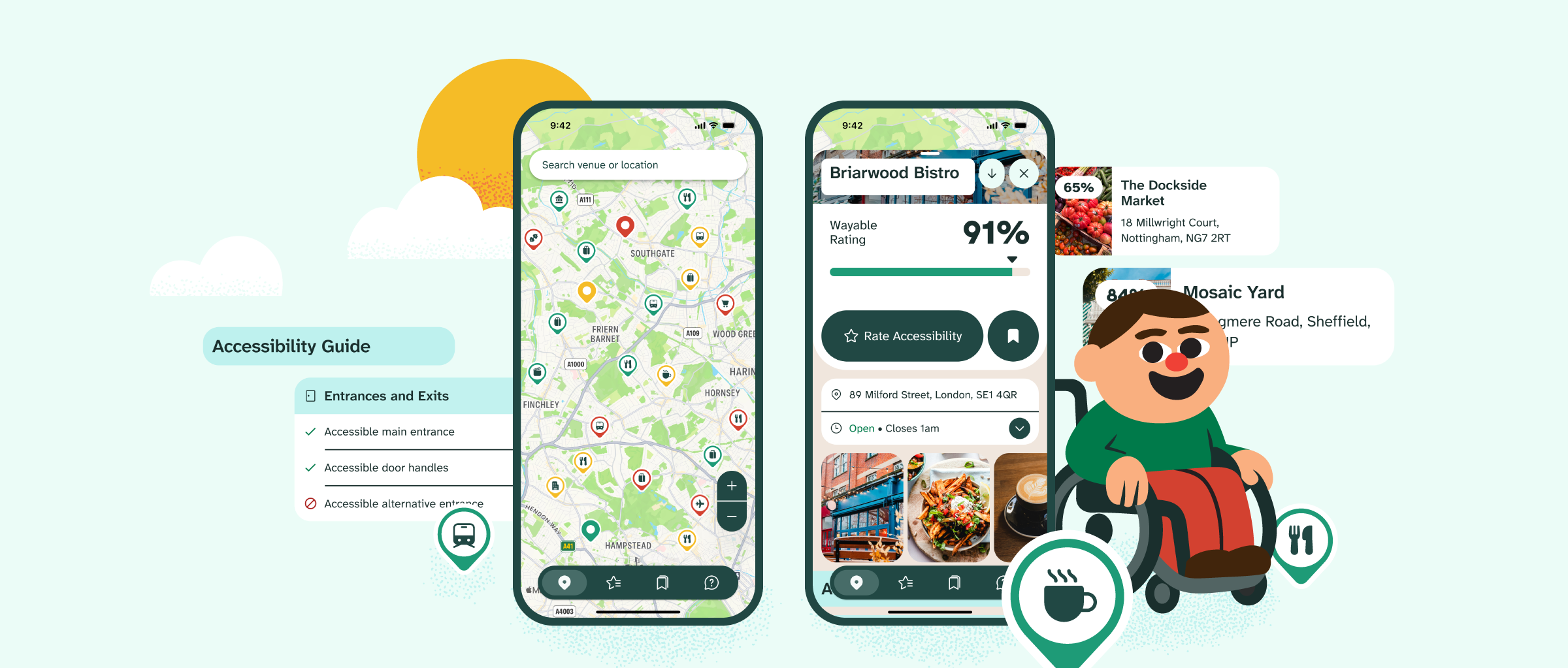
Fluo built the complete software layer that connects to the robot and runs the workflow around it. An agronomist creates missions at their desk, assigns them to operators in the field, and the results return into the same platform. Lab reports are loaded in and rendered as overlays on a map, so every soil measurement sits exactly where in the field it was taken.
Start to finish in around five to six weeks, from a prototype with known gaps to a fully integrated working system. This is senior software judgement applied to a hardware led product rather than another web app: Fluo picked up someone else's incomplete design, closed the gaps in it, integrated the robotics and delivered the whole thing inside a window most teams would want for scoping alone.
RASR got exactly what it asked for, in time to put the system in front of the panel that funded it. The platform is not live yet, and that demonstration is what RASR needs in order to unlock the next round of funding. What it shows is an agronomist who can see what every operator is doing, match returned data against what was asked for, and read soil composition as a detailed map rather than a raw lab report. Richer data, and a far clearer basis for the decisions that follow.